
Google Earth’s New AI Lets Anyone Fabricate Completely Bullshit Satellite Images
404 Media Joseph Cox ● Covered by 7 sources
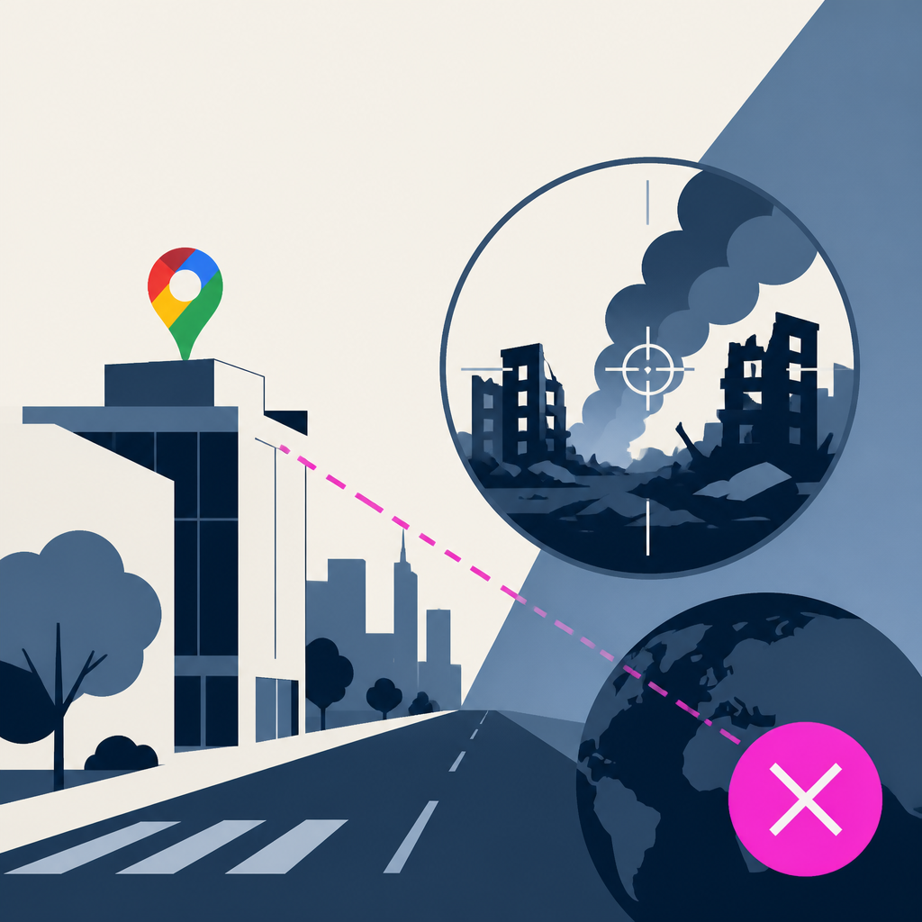
Google added an AI image generator inside Google Earth that can fake satellite photos of real places. Anyone can now cook up a fake drone strike or a nuclear plant that doesn't exist, right on top of real map data.
Based on reporting by 404 Media, Joseph Cox — read the original for the full story.
Summary, retelling and take written by AI under human oversight; images are AI-generated illustrations. How we work · Report an error
Google Earth has spent nearly two decades being the internet's go-to tool for verifying what's actually happening somewhere on the planet. Journalists use it. War crimes investigators use it. So do amateur sleuths tracking wildfires or construction projects. That reputation for reliability is precisely what makes Google's new AI feature, quietly rolled out this past Thursday, such an odd choice.
The feature lets users type a prompt and generate a synthetic satellite image layered onto real coordinates. 404 Media tested it and found you can conjure a bombed-out neighborhood, a phantom nuclear facility in Iran, or basically any fabricated scene you want, dressed up to look exactly like the authentic aerial photography Google Earth is known for. There's no crude watermark shouting "fake," no obvious visual tell separating invented pixels from real ones captured by an actual satellite.
That distinction matters enormously to a specific community: open-source intelligence analysts, or OSINT researchers, who rely on Google Earth's historical imagery to track troop movements, disaster damage, or environmental change over time. Their entire method depends on trusting that what they're looking at reflects reality, not somebody's imagination. A single convincing fake circulating during, say, an active conflict could send analysts chasing ghosts or, worse, get cited as evidence for something that never occurred.
Google built its reputation on being the boring, trustworthy layer underneath a lot of internet infrastructure, mapping data included. Adding a generative AI tool that can spit out convincing fabrications into that same product feels like a strange trade-off, especially at a moment when distinguishing real footage from AI slop is already exhausting people across every other platform. And Google didn't exactly make a lot of noise explaining how it plans to label or contain the fakes it just made easy to produce.
My take — AI-written commentary, not fact-checked reporting
Companies keep bolting AI generators onto tools whose entire value proposition was trustworthiness, and I don't think that's an accident so much as a failure of imagination about how these features get used. Google Earth wasn't broken. It didn't need a button that turns verified imagery into a disinformation machine, and shipping it without robust, visible provenance markers tells me nobody senior enough asked the obvious question before launch.
Read more about this at: 404 Media
Related stories
 Google quietly discontinues its Earth AI feature a day after its rollout after users made no-no images
Fortune ·
5
Google Earth’s AI experiment lasted 24 hours. The damage to trust will linger
Rest of World · 1 week ago ·
11
Google Pulls AI Feature After Two Days: Fake Satellite Images Too Realistic
Trending Topics · 1 month ago ·
39
Google quietly discontinues its Earth AI feature a day after its rollout after users made no-no images
Fortune ·
5
Google Earth’s AI experiment lasted 24 hours. The damage to trust will linger
Rest of World · 1 week ago ·
11
Google Pulls AI Feature After Two Days: Fake Satellite Images Too Realistic
Trending Topics · 1 month ago ·
39