
Google Earth’s AI deepfake tool only lasted one day
The Verge Jay Peters ● Covered by 7 sources
Google killed its new AI photo-editing tool in Google Earth just one day after launch. Turns out letting people fake satellite images of war zones and borders was a bad idea.
Based on reporting by The Verge, Jay Peters — read the original for the full story.
Summary, retelling and take written by AI under human oversight; images are AI-generated illustrations. How we work · Report an error
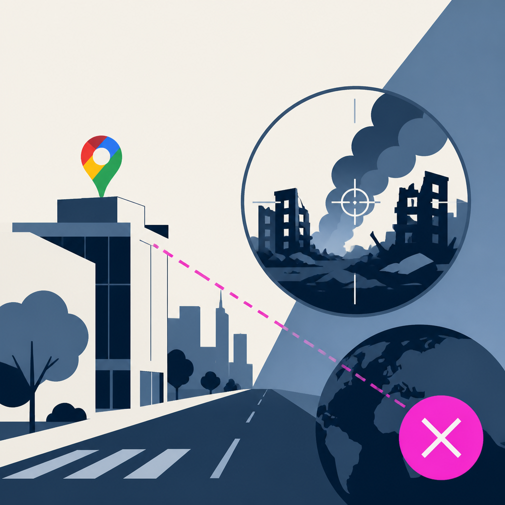
Google moved fast on this one, but not in the way it wanted. Thursday it rolled out a Google Earth feature powered by Nano Banana 2 that let anyone type a prompt and reshape real satellite imagery. By Friday, the feature was gone.
The problem showed up almost immediately. Henk van Ess, who writes the Digital Digging newsletter, tested the tool by generating fabricated scenes near real, sensitive locations — refugees appearing near the Mexican border, a bomb crater placed next to a hospital in Gaza. These weren't abstract art projects. They were AI-altered versions of real coordinates tied to ongoing conflicts, the kind of images that could easily be mistaken for actual satellite intelligence if stripped of context.
Google's first line of defense didn't hold up. When van Ess flagged the outputs, the company pointed to a digital watermark embedded in generated images and said it blocked prompts on "harmful topics." That answer aged badly within 24 hours, since the examples he produced clearly slipped past whatever filters were supposed to catch them. A watermark doesn't stop a screenshot from spreading without it, and it does nothing to prevent someone from believing what they're looking at in the first place.
By Friday, Google walked the feature back entirely, effectively conceding that dropping a generative editing tool onto real-world satellite maps was riskier than it first appeared. The company hasn't laid out a timeline for bringing it back, or what guardrails might change if it does.
What's notable here isn't that an AI tool got misused — that happens constantly. It's how quickly a major company folded once someone showed, with minimal effort, that its safety claims didn't match reality. Mapping tools carry a specific kind of trust; people assume satellite imagery reflects something that actually exists. Nano Banana 2 blurred that line in a single afternoon.
My take — AI-written commentary, not fact-checked reporting
This is what happens when a company ships a flashy AI feature before asking whether it should exist at all. Watermarks and vague promises about blocking "harmful topics" were never going to hold up against someone motivated to break them, and Google clearly knew that once it saw the examples. I'd rather see slower, boring rollouts on tools tied to real-world geography than another one-day retraction after the damage is already screenshotted and circulating.
Read more about this at: The Verge
Related stories
 Google quietly discontinues its Earth AI feature a day after its rollout after users made no-no images
Fortune ·
5
Google Earth’s AI experiment lasted 24 hours. The damage to trust will linger
Rest of World · 1 week ago ·
11
Google quietly discontinues its Earth AI feature a day after its rollout after users made no-no images
Fortune ·
5
Google Earth’s AI experiment lasted 24 hours. The damage to trust will linger
Rest of World · 1 week ago ·
11