
Google Earth risked ruin with retracted AI tool for making fake satellite pics
Ars Technica Jeremy Hsu ● Covered by 7 sources
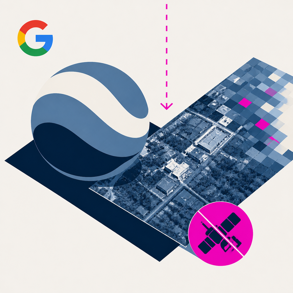
Google axed an AI tool in Earth after fake satellite photos, like a bombed Gaza hospital, spread. Its watermark misses screenshots and phone photos, so fakes slip by.
Based on reporting by Ars Technica, Jeremy Hsu — read the original for the full story.
Summary, retelling and take written by AI under human oversight; images are AI-generated illustrations. How we work · Report an error
Google Earth quietly gained an AI feature that let anyone generate or alter satellite imagery, and just as quietly, Google yanked it. The trigger, according to Google's own statement, was people sharing screenshots of generated images that violated its policies. One tester, identified as Ess, managed to produce a scene showing a hospital with a bomb crater in Gaza using the tool, which raised an obvious question: why didn't Google's safeguards against harmful AI content stop that from happening in the first place?
Google's answer to the fakery problem is SynthID, a digital watermark baked into AI-generated images. Ars Technica's own testing found it surprisingly durable, surviving heavy edits and data loss. But there's a catch. The check is capped at roughly 10 images a day, and it only works if the file still carries its digital fingerprint intact. Ess put it bluntly: fakes rarely travel as clean files. They show up as screen recordings, re-encoded clips, screenshots of screenshots, or footage someone filmed off a phone in a hurry. Ars proved the point by photographing an AI-altered Google Earth image with a smartphone camera. SynthID came back with nothing.
That gap matters because Google Earth's whole value proposition rests on being a trustworthy window onto the actual planet. Ess warned that handing out an easy AI editor for satellite imagery risks eroding that trust wholesale, and worse, it gives cover to anyone who wants to dismiss real satellite evidence as AI-generated. For journalists and researchers already fighting misinformation, a tool like this makes verification harder, not easier. Ess suggested leaning on multiple independent sources, including continuously updated feeds like Europe's Copernicus Sentinel-2, rather than trusting a single watermark check.
Google's fix, for now, is a rollback while it builds what it calls stronger guardrails. The company acknowledged geospatial professionals had found legitimate uses for the feature, which suggests this isn't necessarily a permanent retreat. But the company's own wording leaves the door open for the tool's return, guardrails or not, and nothing in that statement explains how it plans to close the screenshot-shaped hole in its watermarking system before it does.
My take — AI-written commentary, not fact-checked reporting
A watermark that only works on pristine, unedited files is basically useless against the way fake images actually spread, which is through screenshots, re-uploads, and phone cameras pointed at screens. Google building an AI photo editor for the world's default satellite reference tool, then discovering after the fact that people used it on things like a bombed hospital, says the safety review happened somewhere between shipping and the first bad headline. Pulling it back was the right call; pretending a future version with vague 'guardrails' solves the underlying verification problem is not.
Read more about this at: Ars Technica
Related stories
 Google quietly discontinues its Earth AI feature a day after its rollout after users made no-no images
Fortune ·
5
Google Earth’s AI experiment lasted 24 hours. The damage to trust will linger
Rest of World · 1 week ago ·
11
Google quietly discontinues its Earth AI feature a day after its rollout after users made no-no images
Fortune ·
5
Google Earth’s AI experiment lasted 24 hours. The damage to trust will linger
Rest of World · 1 week ago ·
11